I’ve recently discovered some flood hazard maps at nababaha.com, a project by members of the Volcano-Tectonics Laboratory of the National Institute of Geological Sciences. According to their website:
“These hazard maps are indicative inundation maps for large flood events and useful only for knowing where not to be during extremely heavy rainfall. For local governments, these flood hazard maps can be used for localized emergency response (i.e. evacuation and access routes, road closures, siting of key rescue facilities) and for urban planning.”
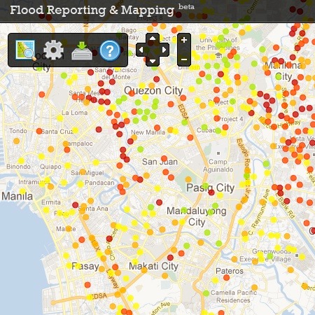
Take a look at the citizen reports at http://www.nababaha.com/report/view.php

View the Flood Reporting & Mapping tool.

Another souce is the Firetree flood map.